
LiDAR
MT-HEX Airborne LiDAR SystemCorridor mapping and industry-specific equipment, deployable on multiple aerial platforms

- All
- FT-MINI Airborne Laser Scanner
- FT-800 Airborne LiDAR System
- FT-800H Airborne Laser Scanner
- FT-1200 Airborne LiDAR System
- FT-1200H Airborne Laser Scanner
- FT-1500 Airborne LiDAR System
- FT-1500H Airborne Laser Scanner
- MT-HEX Airborne LiDAR System
- MT-HEX Airborne Laser Scanner
- FT-2000 Airborne LiDAR System
- FT-2000H Airborne Laser Scanner
- FT-3000 Airborne LiDAR System
- PRO-360 Mobile Laser Scanner
- D-800 Mobile Laser Scanner
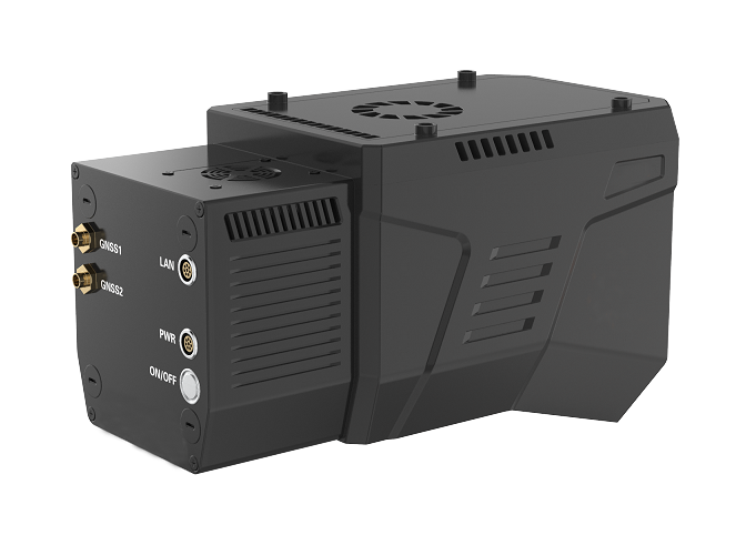
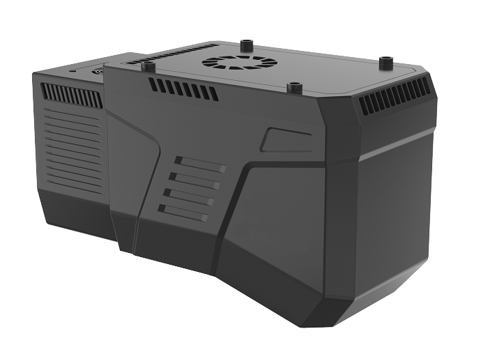
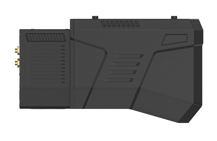
The MT‑HEX airborne LiDAR is a dedicated solution for corridor mapping and other specialized industries, offering high precision, long measurement range, high scan frequency, and a versatile field of view. It achieves a repeatability of 5 mm and a maximum range of 1,500 m. With a scan rate of up to 600 lines per second (customizable to 900 lines/s) and a laser pulse repetition rate of 2,000 kHz, it delivers dense point cloud coverage. The system features a 60° cross‑track field of view combined with 0° ±10° along‑track continuous tilt scanning, enabling accurate capture of detailed three‑dimensional features. It is suitable for rapid mapping of corridor terrain using various UAVs, and is particularly ideal for applications that demand high‑quality vertical‑surface information, such as power line inspection and forestry surveys.
Optical parameter
|
Content |
Index |
|
Laser Class |
Class 1 |
|
Laser Wavelength |
1550 nm |
|
Beam Divergence |
0.5 mrad |
|
Measuring Range |
5 m~1500 m@80% |
|
Laser Pulse Repetition Rate |
100 k ~ 2000 kHz |
|
Field of View (FOV) |
60° cross-track |
|
|
0° ±10° along-track |
|
Angular Measurement Resolution |
0.001° |
|
Measurement Technique |
Pulse-phase ranging |
|
Scan Rate |
120~600 lines/sec |
|
|
(customizable up to 900 lines/s) |
Laser measurement
|
Repeatability Precision |
5mm@100m(1σ) |
|
Max. Number of Targets Per Pulse |
Up to 7 echoes |
|
Echo Signal Intensity |
8 bit (Radiation correction) |
|
Internal Data Storage |
256 G |
POS specifications
|
Post-processed Attitude Accuracy |
Roll/Pitch: 0.003° |
|
|
Heading: 0.01° |
|
Post-processed Positioning Accuracy |
Horizontal: 0.01 m |
|
|
Vertical: 0.01 m |
|
Data Update Rate |
600 Hz |
Camera specifications
|
Pixel |
45 MP |
|
Focal Length |
18 mm |
|
Field of View (FOV) |
90° (long edge) |
|
|
67° (short edge) |
|
Trigger Frequency |
Up to 1 Hz |
|
|
(single-shot trigger supported) |
Dimension
|
Weight |
Approx. 2.5 kg(including IMU, GNSS, storage, and camera) |
|
Size |
Length * width * height |
|
|
250*116*148 mm |
Working environment
|
Operating Temperature Range |
-20℃~ +50℃ |
|
Storage Temperature Range |
-20℃~ +50℃ |
|
Light condition |
Natural environment |
|
Humidity |
Non-condensing |
|
Protection Class |
IP64 |
Power source
|
Power Supply Input Voltage |
24V DC(20-30 V input range) |
|
Power Consumption |
Approx. 65W |
Data interface
|
TCP/IP |
Gigabit Ethernet |
|
GNSS Antenna |
SMA Male (with internal threads) |