
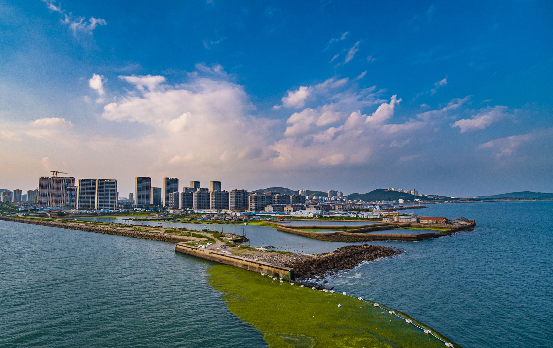
Shoreline survey
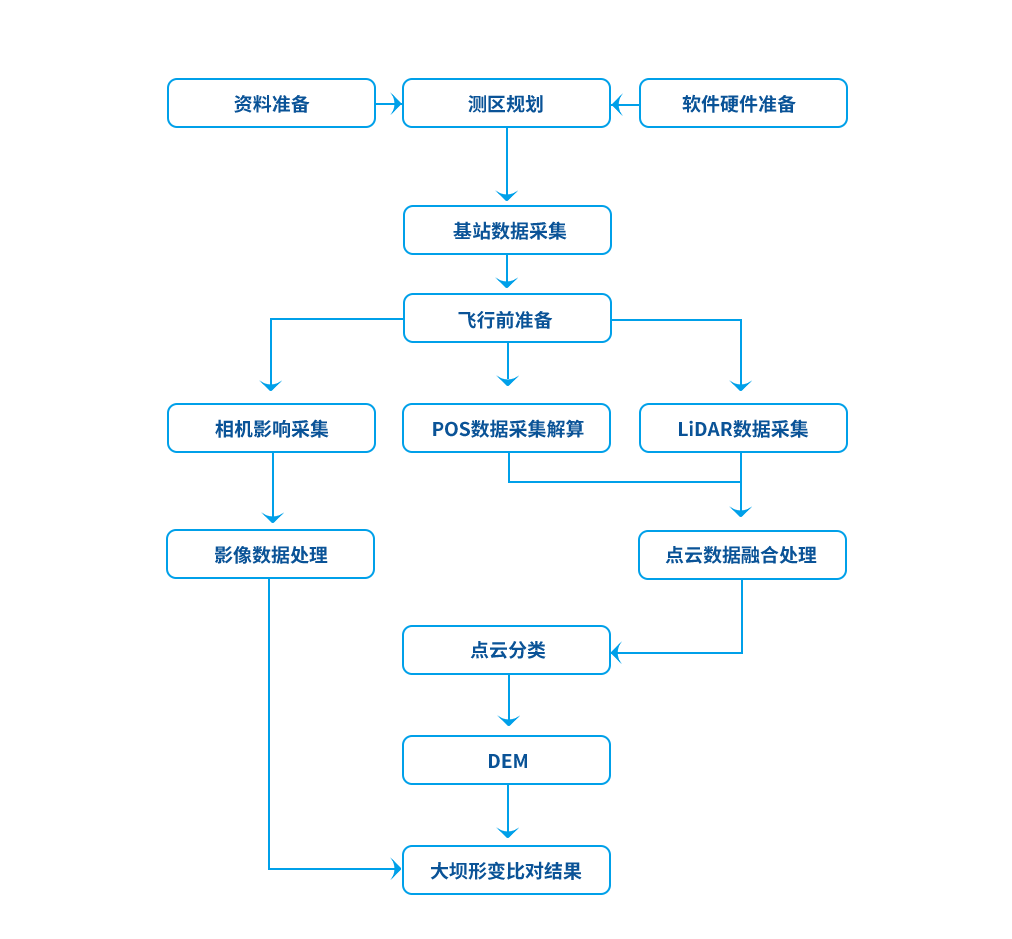
Project flow chart
Project flow chart
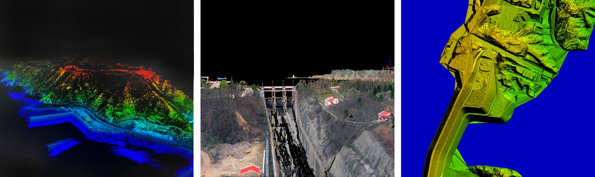
Case presentation
Case presentation
The traditional surveying and mapping method is very inefficient for the survey area with complicated topography such as hydrology, dense forest and mountain. The airborne laser radar system can calculate the relation of water level, volume and area more accurately, which is more efficient and provides accurate basic data support for the future scientific flood control operation.