-
View More

Topographic survey
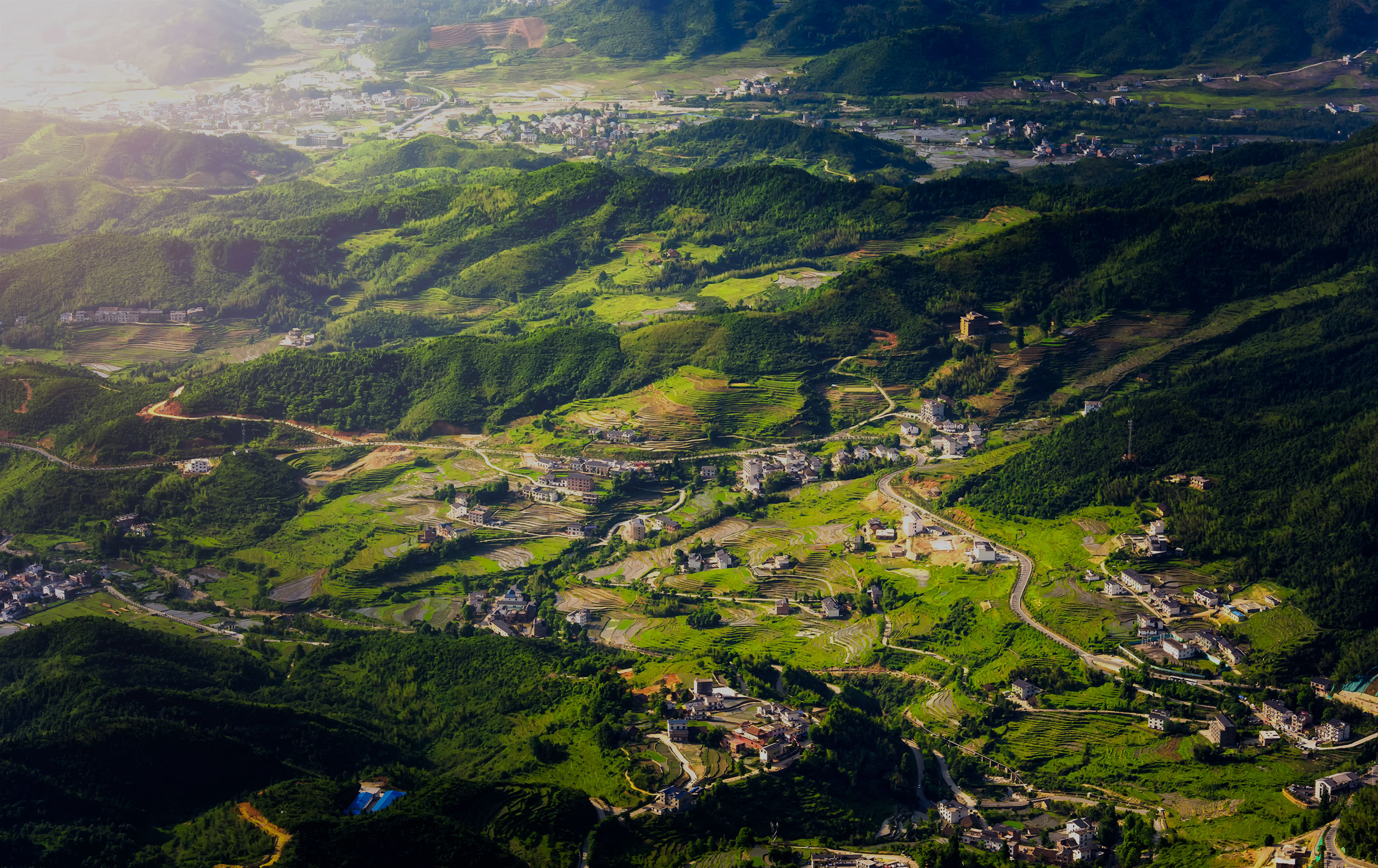
In areas with complex terrain conditions and difficult access for personnel, traditional terrain surveying and mapping methods have many limitations in the operation process, such as high construction difficulty, low efficiency and long cycle. Airborne Lidar surveying and mapping technology digital, accurate, fast, non-contact characteristics can just avoid such problems, the use of laser high penetration, in some extreme survey area environment to make up for the limitations of traditional terrain mapping, providing a new technical means and methods for digital mapping.
-
View More

Forestry investigation
Through different remote sensing means, the detailed information inside the forest can be collected in a timely manner, and the distribution of the forest can be effectively mastered comprehensively, accurately and objectively. The high-precision remote sensing data obtained by lidar technology can be further analyzed and processed to obtain the position, height, diameter at breast height and crown width of each tree in the urban garden, improving the efficiency and accuracy of the garden survey. Save labor cost.
-
View More

Power line inspection
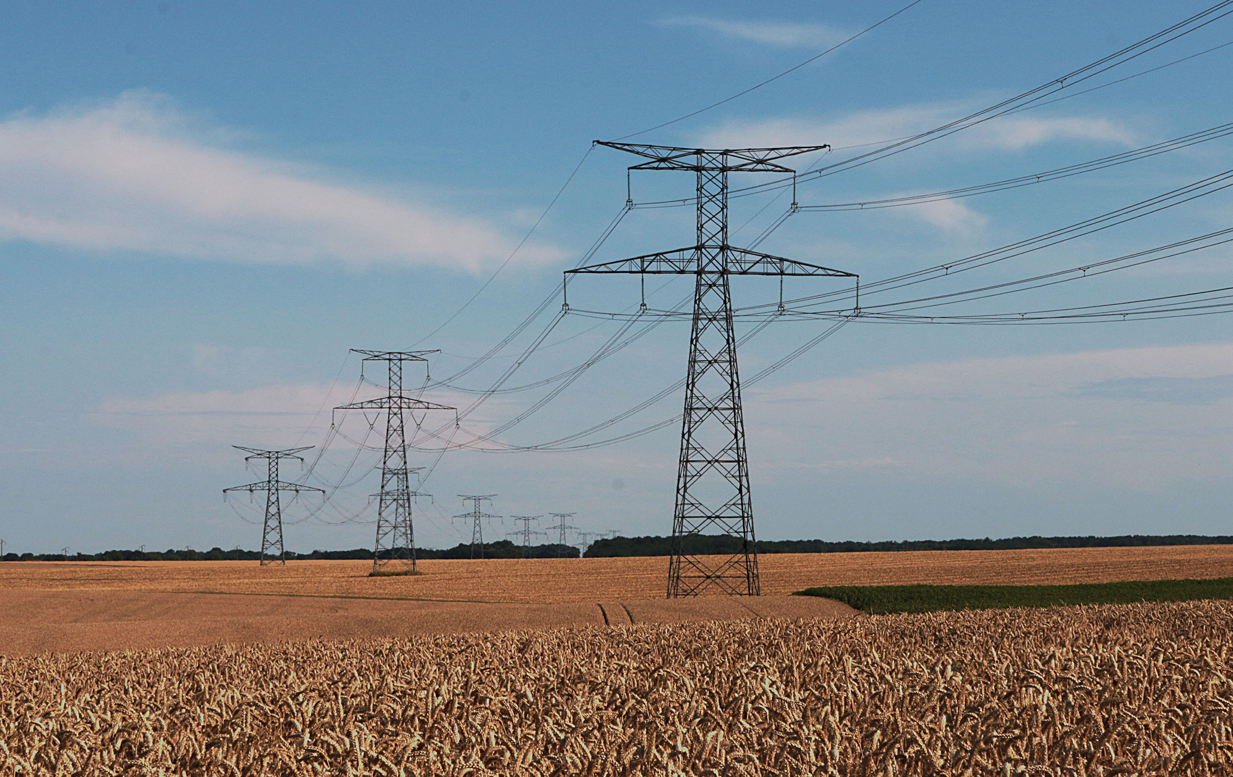
Airborne laser radar system has the advantages of quickly obtaining high-precision laser point cloud and high-resolution digital image. Whether it is for the direction selection and design of newly built lines, or for the inspection of dangerous points on the line, line asset management and various professional analysis of the established lines, it brings the operation mode and technical advantages that the traditional surveying and mapping means do not have.
-
View More

Shoreline survey
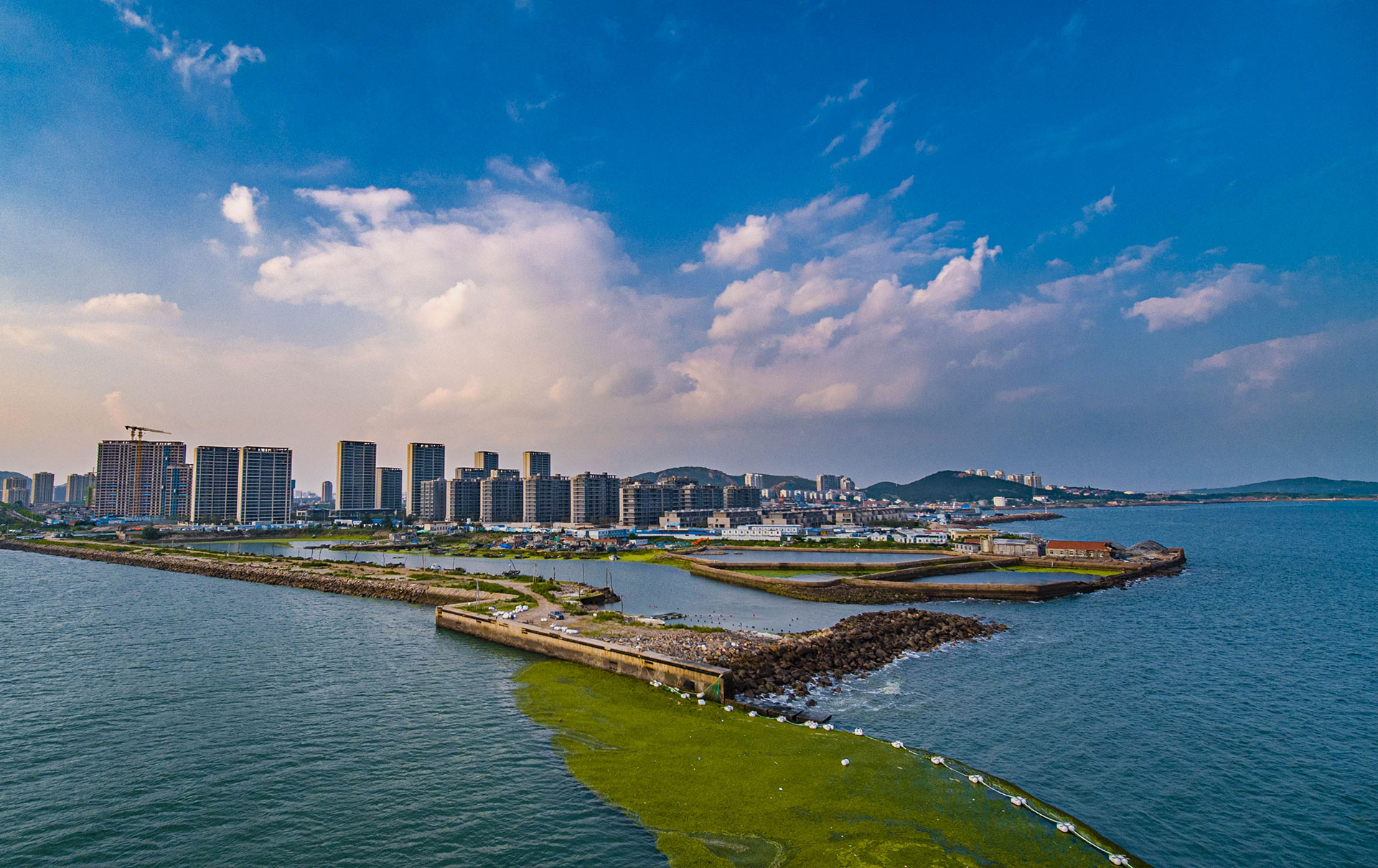
The traditional surveying and mapping method is very inefficient for the survey area with complicated topography such as hydrology, dense forest and mountain. The airborne laser radar system can calculate the relation of water level, volume and area more accurately, which is more efficient and provides accurate basic data support for the future scientific flood control operation.


